
Where we work · Santa Clara, Utah
Plumbing, accessible living and water-wise landscape in Santa Clara.
What follows is only what is true of Santa Clara: the water, the city's rules, the ground and the associations. 89 checkable facts, each with its source.
Same crew, same rate card, in every town we cover. Read our Plain Terms
What we do in Santa Clara
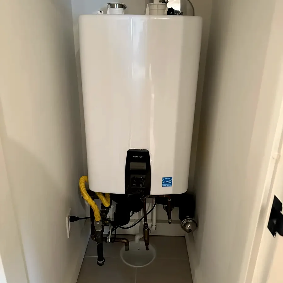
Plumbing
The systems that make the house work, and the bath and kitchen work that touches them.
- Water heaters and tankless
- Softeners and filtration
- Drains and sewer lines
- Leak detection and repipes
- Bath and kitchen work
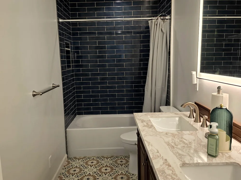
Accessible living
Built so you can stay in the house. Built so it doesn’t look built.
- Grab bars with wall blocking
- Curbless showers
- Walk-in tubs
- Doorway widening
- Home accessibility assessment
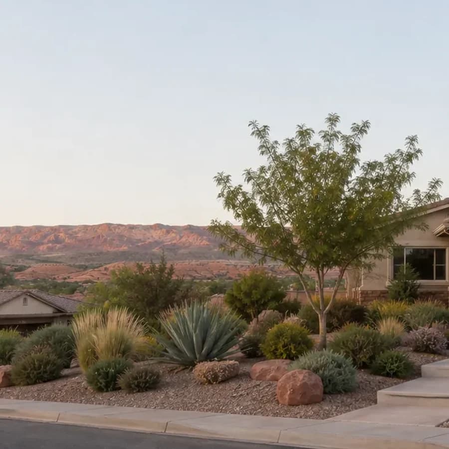
Water-wise landscape
Lawn out, desert in, with the rebate paperwork handled for you.
- Lawn removal
- Drip irrigation
- Desert planting
- Washington County rebate paperwork
Santa Clara, in detail
89 things that are true here, each with its source.
Read the part you came for. Every line traces to a document we read in full, numbered in where this comes from.
The water
What comes out of the tap here, and what it does to a water heater.
- Santa Clara's 2025 water quality report (2024 data) shows total dissolved solids ranging from 136 to 552 ppm.1
- Santa Clara's 2024 data shows sulfate ranging from 1.38 to 209 ppm.1
- Santa Clara's 2024 data shows sodium ranging from 9 to 55 ppm.1
- Santa Clara's 2024 data shows arsenic samples from 1.0 to 13.0 ppb with a running annual average of 8.68 ppb, below the 10 ppb federal maximum contaminant level but with little headroom.1
- Santa Clara's arsenic running annual average of 8.68 ppb matches St. George's, and both systems operate close to the 10 ppb limit.1
- Santa Clara's 2024 data shows fluoride of 0.2 to 0.512 ppm and nitrate-nitrogen from not-detected to 3.0 ppm.1
7 more facts, with sources
- Santa Clara's 2024 data shows combined radium 226/228 of 0.6 to 1.6 pCi/L.1
- Santa Clara's 2024 data shows total trihalomethanes of 26.52 to 33.94 ppb and HAA5 of 3.46 to 6.848 ppb; the TTHM figure is under the 80 ppb federal limit.1
- Santa Clara's report does not state calcium, magnesium, uranium, or the disinfectant used.1
- Disinfection byproducts (TTHM and HAA5) are the most consistently elevated contaminant group across Washington County systems because the dominant source is chlorinated Virgin River surface water.1
- A water softener does not remove arsenic; cation exchange has no effect on it.2
- The federal arsenic limit of 10 ppb was adopted January 22, 2001 with compliance required by January 23, 2006.2
- Point-of-use reverse osmosis rejects 95 to 99 percent of dissolved solids and is the appropriate tool for a homeowner who wants margin below the arsenic limit rather than bare compliance.2
The city's rules
Lawn, irrigation, lighting and permits, from the municipal code.
- Santa Clara adopted its own water ordinance in February 2022 that limits lawn sizes and the types of plants that may be installed.1
- Snow Canyon State Park's December 2025 dark-sky designation directly affects Santa Clara, one of the two submarkets where lighting rules bite hardest.3
- Utah adopts construction code statewide under Title 15A, so the plumbing code in Santa Clara is the same as in neighboring cities; what varies is permit triggers, fees, process, irrigation rules, and lighting.3
- Utah H.B. 215 (2026) amended Utah Code 10-20-619 so that a municipality may not require a property owner to install or keep lawn or turf in an area less than eight feet wide, and may not block vegetation removal required for defensible space under the Wildland Urban Interface Code.4
- Utah H.B. 48 took effect January 1, 2026 and requires each municipality to adopt and enforce the Utah Wildland Urban Interface Code for its incorporated area.5
- WCWCD's Water Efficiency Standards (October 2023) require that all non-lawn plant material be irrigated by drip with a pressure regulator, filter, flush-end assembly, and emitters rated 20 gallons per hour or less, and that drip and spray never share a valve.5
3 more facts, with sources
- WCWCD's Water Efficiency Standards apply to landscape installation, not just new construction, and where they conflict with a city ordinance or HOA requirement the regulation providing the greatest water conservation benefit applies.5
- WCWCD's Water Efficiency Standards cap single-family lawn at 8 percent of the lot or 2,500 square feet, whichever is less, allow up to 600 square feet on lots under 7,500 square feet, bar lawn narrower than 8 feet in any dimension, and bar lawn on slopes over 25 percent.5
- WCWCD's Water Efficiency Standards limit ornamental water features to 25 square feet per parcel.5
Who serves the house
Water and power providers, which changes what a rebate is worth.
- Santa Clara operates its own culinary water system and publishes an annual Consumer Confidence Report at santaclarautah.gov.1
- The Washington County Water Conservancy District's Quail Creek Water Treatment Plant and Sand Hollow Wells regional system supplies Santa Clara, alongside St. George, Washington, Hurricane, and Ivins.1
- More than 80 percent of the drinking water the Washington County Water Conservancy District delivers is Virgin River surface water stored in Sand Hollow and Quail Creek reservoirs; the rest is Navajo aquifer groundwater.1
- Santa Clara is served by its own municipal power department, not Rocky Mountain Power.6
- Santa Clara's building permit fee schedule effective January 2026 lists an underground electrical connection up to 200 amps at $758.00 and a minimum building inspection fee of $56.00; the city's number is (435) 656-4690.6
- In the 2025 reporting year the St. George City secondary irrigation system purchased 3,119.69 acre-feet from the Santa Clara Project and 1,245.41 acre-feet from the New Santa Clara Field Canal.4
1 more fact, with sources
- The Washington County Water Conservancy District residential water impact fee is $13,500.3
The associations
What the documents say, by community. Confirm with your own.
- At Entrada at Snow Canyon, all exterior changes need Entrada Design Review Committee approval, including paint, landscaping, stone, barbecue, spa, solar, and landscape lighting.3
- The Entrada Design Review Committee meets the first and third Thursday of each month at 9 a.m., and submissions are due the prior Thursday.3
- Entrada has eight gates and a manned gatehouse; gate fobs cost $30 each (one per garage bay), pedestrian keys $15, and guest access runs through the MyQ app.3
- Entrada is not one association: the Entrada Property Owners Association covers 13 subdivisions, while The Cliffs of Snow Canyon, Lava Cove POA, and Lava Falls are separate associations with different managers.3
- The Cliffs of Snow Canyon is managed by Paul Properties.3
- The Entrada Property Owners Association is managed by PMP Management.3
6 more facts, with sources
- Bella Sol at Santa Clara Association is listed as a supporter of the Utah Chapter of Community Associations Institute's Association Drought Compact, a public pledge list with no stated obligations.4
- Under Utah Code 57-8a-231, an HOA may not require a lot owner to install or keep lawn or turf in an area less than eight feet wide, except where reasonably necessary for erosion control.4
- Under Utah Code 57-8a-231(2), an HOA may not prohibit a lot owner of a detached dwelling from incorporating water-wise landscaping, though it may still require site-plan review and its own water-wise design standards.4
- Under Utah Code 57-8a-109(4), an HOA denial must state in writing each governing-document provision relied on and the specific aspect of the plan that does not conform, and under 57-8a-109(2) a plan fee may not exceed the actual cost of review.4
- Under Utah Code 57-8a-212(4), effective May 6, 2026, an HOA declaration may not restrict the interior of a dwelling except as reasonably necessary for the safety of adjacent lots, and may not bar an owner from hiring a contractor solely because the contractor is not on the association's preferred vendor list.4
- Under Utah Code 57-8a-802, an HOA may not prohibit a lot owner from installing an EV charging system on the owner's lot or in a limited common area parking space designated for the owner's exclusive use, though it may require an application and a licensed electrical contractor.6
The ground
Soils, faults, flood and rockfall, from the state's hazard mapping.
- In January 2005 a flood on the Santa Clara River washed away about 20 homes and damaged another 10 beyond repair, roughly 30 structures lost, according to a university teaching case study on the flood.1
- The 2005 flood was driven by a weak El Niño that steered a southerly Pacific storm track over existing snowpack.1
- During the 2005 flood the Santa Clara River widened to a hundred yards in places.1
- The 2005 flood's discharge was less than the expected 100-year flood; the destruction happened at below 100-year flow.1
- Most homes destroyed in 2005 sat above the 100-year floodplain, leaving their owners without flood insurance, according to a university teaching case study on the flood.1
- The 2005 damage mechanism was stream bank erosion from meander migration, not inundation.1
13 more facts, with sources
- The documented lesson of the 2005 flood is that analyzing risk along streams requires knowledge of both flood and stream-bank erosion hazards.1
- Washington County publishes three separate flood-related GIS layers, FEMA Flood Hazard (layer 0), Erosion Hazard Boundary (layer 3), and Flood Hazard Based on Geologic Deposits (layer 4), because FEMA's map alone is insufficient here.1
- Washington County also maps dam-break inundation areas (GIS layers 5 to 7) downstream of Quail Creek and Sand Hollow reservoirs.1
- The Utah Geological Survey calls flooding the most widespread and damaging geologic hazard in southwestern Utah.1
- Expansive blue clay of the Chinle Formation's Petrified Forest Member has caused documented damage to homes in the Santa Clara area.1
- The Utah Geological Survey illustrates expansive soil damage with a photograph of cracks in a Santa Clara house foundation.1
- The Utah Geological Survey calls expansive soil and rock the most troublesome construction condition in the St. George area.1
- The blue clay's mineralogy is illite/smectite, an expandable clay that absorbs water and swells; it occurs in an arc across the St. George area and dips deeper below the surface toward the north.1
- Utah Geological Survey Special Study 127 maps geologic hazards and adverse construction conditions across 366 square miles including Santa Clara, at 1:24,000 scale.1
- The Utah Geological Survey defines collapsible soil as soil with considerable strength when dry that settles significantly by hydrocompaction when wetted, typically in young alluvial fans and debris flows.1
- Washington County publishes 24 free public hazard map layers, and the Utah Geologic Hazards Portal offers a second free lookup.1
- The EPA maps Washington County as Radon Zone 2, the middle of its three categories, meaning a predicted average indoor screening level between 2 and 4 picocuries per liter. The action level is 4, and a zone map is a geological prediction that does not describe any individual house.7
- The 1992 St. George earthquake was magnitude 5.8 on September 2, 1992, and Special Study 127 says the Hurricane fault is capable of earthquakes as large as magnitude 6.5 to 7.1
The seasons
Heat, monsoon, wind and freeze, and how they set the calendar.
- WCWCD advises that neighborhoods at low elevations near rivers and drainages are cooler because cold air settles at the lowest points, so marginally hardy plants are more likely to freeze there.5
- WCWCD states that several zone 9 plants have grown in popularity locally but homeowners planting them are taking a risk.5
- Most of Washington County falls in Sunset climate zone 10, with hot summers, cold winters, up to 300 growing days a year, and elevations from 3,300 to 5,000 feet.5
- Snow Canyon State Park received International Dark Sky designation in December 2025, which directly affects lighting expectations in Santa Clara.3
- Southwest Utah has a defined monsoon season that generates flash flooding, with abrupt transitions from long dry spells; St. George recorded a 78-day dry spell that ended with monsoon onset in one recent year.1
- The nearby St. George station recorded an all-time high of 117°F, set in July 1985 and matched on July 11, 2021, 98 days at or above 100°F in 2024, and an all-time low of −11°F on January 26, 1937.1
2 more facts, with sources
- Penn State's Center for Sports Surface Research measured synthetic turf at 200°F on a 98°F day in Provo, Utah, and found that 30 minutes of watering dropped turf from 174°F to 85°F only for it to rebound to 120°F within 5 minutes.1
- WCWCD states that shade keeps areas up to 25 degrees cooler, shade trees can lower surface temperatures by up to 50 degrees, and grass uses four times more water than trees and shrubs.5
The houses
How homes here were built, and what that means for the pipes.
- The Entrada Property Owners Association covers 13 subdivisions, with The Cliffs of Snow Canyon, Lava Cove, and Lava Falls organized as separate associations.3
- Washington County had 91,460 housing units as of July 2025, 69,786 households, 71.6 percent owner-occupied, a median home value of $510,700, a population of 213,670, and 2,857 building permits in 2025.1
- The EPA Renovation, Repair and Painting Rule applies to homes built before 1978 and requires contractors to be trained and certified in lead-safe work practices; it has no small-residential exemption.1
Rebates and easements
The conversion program as it applies here.
- The WCWCD Water Efficient Landscape rebate pays $3 per square foot on the first 1,000 square feet of lawn removed and $2 per square foot after that, for projects completed before June 1, 2027.5
- WCWCD's smart-controller rebate of up to $100 and toilet-replacement rebate of up to $150 (up to 2 toilets, manufactured before 1994) are separate applications and can be claimed alongside a landscape conversion.5
- The Washington County Water Conservancy District caps the landscape rebate at $100,000 per property per calendar year. There is no five-year waiting rule on the district side; that limit belongs to the separate state program, which Washington County applicants are routed away from.8
- Demolishing the lawn before receiving WCWCD's written approval email and a pre-conversion site visit permanently voids rebate eligibility.5
- Living grass must be present at the WCWCD inspection; irrigation may be shut off for up to a month beforehand as long as grass blades remain visible, but the grass may not be removed.5
- WCWCD requires the converted area to have 50 percent living plant and tree cover at maturity and assigns each tree 350 square feet of cover and each shrub or perennial 35 square feet; existing trees inside the conversion count.5
12 more facts, with sources
- WCWCD does not dictate plant species for the rebate and publishes no approved plant list; it requires only 50 percent mature coverage.5
- Every rebated conversion attaches a perpetual conservation easement, recorded with the Washington County Recorder, that forever prohibits irrigated grass, spray irrigation, pools, ponds, and water features in the converted area only.5
- WCWCD enforces the easement by aerial imagery; a violation brings written notice, 45 days to cure, then repayment of the full rebate plus administrative costs plus 5 percent annual interest.5
- Release of the easement is discretionary with WCWCD, must be written and recorded, and the price is repayment of the full rebate plus administrative costs and 5 percent per year interest; the easement must be granted before the incentive is issued.5
- Ungrouted pavers and dry-set flagstone count as mulch inside a rebated area, while poured concrete and mortared work are subtracted from the incentive calculation.5
- WCWCD accepts permeable artificial turf only in lieu of mulch as a component of a conversion; it does not rebate an artificial-turf lawn.5
- WCWCD pays landscape rebates within 60 days of project completion and paperwork submission.5
- WCWCD says a typical contractor conversion costs $4 to $6 per square foot, rebates commonly cover 30 to 50 percent of the cost, and a typical residential conversion saves up to $300 a year in water.5
- WCWCD does not require a W-9 or issue a 1099 for owner-occupied primary residences; secondary residences, rentals, and commercial properties are issued a 1099, which matters in a short-term-rental pocket.5
- Plastic weed barriers are not permitted in a rebated conversion; any barrier used must be permeable, and WCWCD says a few inches of mulch usually suppresses weeds adequately.5
- Under Utah Code 57-8a-218(15), an HOA where owners maintain their own landscaping must adopt rules supporting water-wise landscaping and may not prohibit conversion of a grass park strip to water-efficient landscaping.4
- If an HOA compels a homeowner to keep grass, WCWCD invites the homeowner to email conservation@wcwcd.org and will take reasonable steps to inform the HOA of applicable state and local law, though HOAs may still enforce design standards.5
Something on this page describe your house?
Tell us what you’re seeing. We’ll say on the phone whether it can wait, and what it costs to find out.
Associations in Santa Clara
What each community’s own documents say about design review, landscape and working on your house, with the section numbers. All communities.
Entrada at Snow Canyon
Entrada's EDRC calendar and gate access, the four separate associations behind the name, and the statutes that bear on them.
Read before you decide
Artificial turf, measured: 200 degrees on a 98 degree day
The highest published synthetic turf surface temperature was recorded in Utah. Watering cools it for about five minutes. Here is where turf still makes sense, and what planted conversion does instead.
Your backflow test notice, explained
St. George requires an approved assembly on every outside watering system, protected from freezing, and tested every year. Here is what that device does.
A pipe broke in the wall of your condo. Who pays?
Utah Code § 57-8-7.2 draws the line at the finished surface. Everything behind it is common area, and a pipe gets sorted by how many units it serves.
Curbless walk-in showers: the complete guide
A standard 60-inch tub occupies the same footprint as a 60 by 30 roll-in shower. The numbers, the slab, the hard water, and what the research honestly says.
Where this comes from
Every line above traces to a document we read in full. The number after a sentence points to the research below; hover it for the section. If you find a line wrong, tell us and we will fix it and say so.
- Environment, water and ground research, August 2026 Compiled from the cities' own water quality reports, Utah Geological Survey Special Study 127, the Utah State Hazard Mitigation Plan, Washington County GIS hazard layers, NOAA climate records, EPA radon zones and Census QuickFacts. 35 sections cited. Hover a number above for the section.
- Plumbing research, August 2026 Compiled from manufacturer warranty documents and installation manuals (A.O. Smith, Noritz, Rinnai, Rheem, Navien, Bradford White), the Battelle / Water Quality Research Foundation study, the Utah Code and DOPL rules. 3 sections cited. Hover a number above for the section.
- The Washington County playbook, August 2026 Our own working document, compiled from the same primary sources: municipal codes, the Utah Code, WCWCD documents and community CC&Rs. 8 sections cited. Hover a number above for the section.
- HOA research, August 2026 Compiled from Utah Code Title 57 Chapters 8 and 8a, Title 13 Chapter 79, HOA Ombudsman advisory opinions, and the recorded CC&Rs and design guidelines of the named communities. 8 sections cited. Hover a number above for the section.
- Landscape and hardscape research, August 2026 Compiled from Washington County Water Conservancy District program documents, its sample conservation easement and FAQ, Utah Water Savers, the 2023 USDA hardiness map, USU Extension, and St. George City Code, Title 10. 25 sections cited. Hover a number above for the section.
- Utility and EV research, August 2026 Compiled from utility service maps, St. George City Energy Services, Dixie Power and Hurricane City Power published rates and rebates, the Utah Code and the AFDC. 3 sections cited. Hover a number above for the section.
- EPA Map of Radon Zones, Utah, read from the map itself 2 Sept 2026
- WCWCD Water Efficient Landscape Program agreement, wcwcd.gov, retrieved 2 Sept 2026
The quote is the number. There is no second number.
7 a.m. to 5 p.m., weekdays. Emergency calls answered any hour, every day.