
Where we work · Toquerville, Utah
Plumbing, accessible living and water-wise landscape in Toquerville.
What follows is only what is true of Toquerville: the water, the city's rules, the ground and the associations. 70 checkable facts, each with its source.
Same crew, same rate card, in every town we cover. Read our Plain Terms
What we do in Toquerville
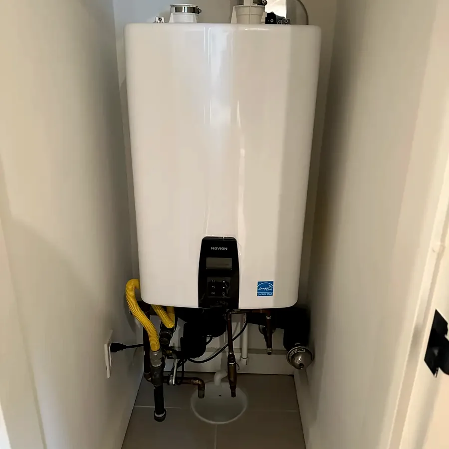
Plumbing
The systems that make the house work, and the bath and kitchen work that touches them.
- Water heaters and tankless
- Softeners and filtration
- Drains and sewer lines
- Leak detection and repipes
- Bath and kitchen work
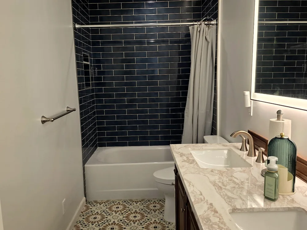
Accessible living
Built so you can stay in the house. Built so it doesn’t look built.
- Grab bars with wall blocking
- Curbless showers
- Walk-in tubs
- Doorway widening
- Home accessibility assessment
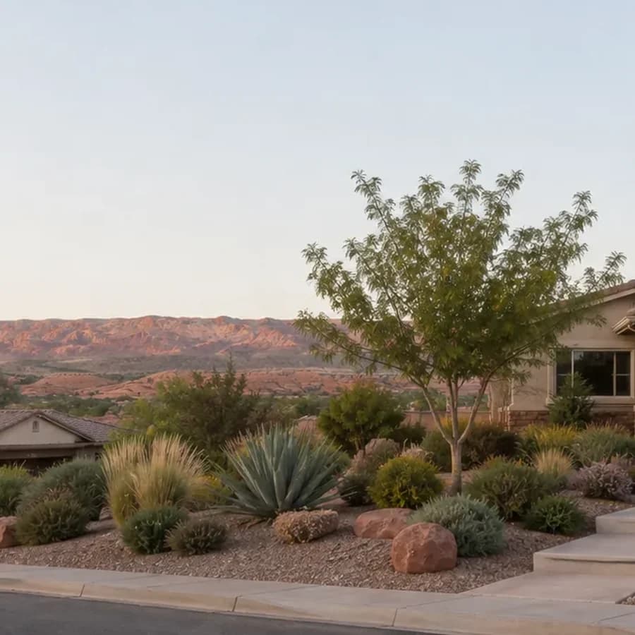
Water-wise landscape
Lawn out, desert in, with the rebate paperwork handled for you.
- Lawn removal
- Drip irrigation
- Desert planting
- Washington County rebate paperwork
Toquerville, in detail
70 things that are true here, each with its source.
Read the part you came for. Every line traces to a document we read in full, numbered in where this comes from.
The water
What comes out of the tap here, and what it does to a water heater.
- Toquerville Spring is a drinking-water source for neighboring La Verkin, according to La Verkin's water quality report.1
- Toquerville does not publish a findable standalone consumer confidence report.1
- The Washington County Water Conservancy District's Cottam Wells supply Casa de Oro, Homespun Village, Hurricane, La Verkin and Toquerville.1
- No Washington County water quality report publishes water hardness, because hardness is not a federally required reporting parameter.1
- Every water system in Washington County reviewed in the research is in compliance with federal drinking-water law.1
- No PFAS was detected or reported in any of the four Washington County system records reviewed; treat this as not detected in published data, not as absent.1
The city's rules
Lawn, irrigation, lighting and permits, from the municipal code.
- Under H.B. 215 (2026), a Utah city may not require a property owner to install or keep lawn or turf in an area less than eight feet wide, and may not block removal of vegetation needed for defensible space in a designated wildland-urban interface area.2
- Utah H.B. 48 took effect January 1, 2026 and requires every county and municipality to adopt and enforce the Utah Wildland Urban Interface Code for its own territory.3
- Beginning January 1, 2026, the county annually assesses a fee, in an amount set by the Utah Division of Forestry, Fire and State Lands, on owners of high-risk wildland-urban-interface property; a past-due fee can become a lien.3
- The HB 48 wildfire fee is based on a structure's square footage and may be tiered by the property's triage-scale classification.3
- From January 1, 2026, an insurer may only use the state wildfire risk assessment mapping tool boundary to decide whether a property is high-risk WUI, and must state its reasons for a wildfire-related cancellation or non-renewal.3
Who serves the house
Water and power providers, which changes what a rebate is worth.
- Utah adopts construction code statewide under Title 15A, so the plumbing code does not vary from city to city; what varies locally is permit triggers, fees, process, irrigation rules and lighting.4
- Utah moved to the 2024 IBC, IECC and IEBC on July 1, 2026 under HB 65.4
- The Washington County Water Conservancy District residential water impact fee is $13,500.4
- No water-use moratorium is in effect in Washington County; the district's general manager has described one as a possible contingency if infrastructure lags, not as policy.4
The associations
What the documents say, by community. Confirm with your own.
- Under Utah Code § 57-8a-231(3)(b), an association may not require a lot owner to install or keep lawn or turf in an area less than eight feet wide, except where reasonably necessary for erosion control.2
- Utah Code § 57-8a-231(2) protects only owners of detached dwellings in a planned community; it does not apply to condominiums, which have parallel protection under § 57-8-8.1(8) and § 57-8-10(9)(c)–(d) effective May 6, 2026.2
- The Utah water-wise landscaping statute § 57-8a-231 was enacted in 2022, not 2025, and has been amended in 2023, 2024 and 2025.4
- As amended effective May 6, 2026, a Utah HOA declaration may not impose a restriction on the interior of a dwelling except as reasonably necessary for the safety of adjacent lots (§ 57-8a-212(4)).5
- A Utah HOA may not bar a homeowner from hiring a contractor solely because the contractor is not on the association's preferred vendor list (§ 57-8a-212(4) and § 57-8a-218(22)(c)(iii)).5
- Under § 57-8a-109(4), an HOA design-review denial must state in writing each governing-document provision relied on and the specific aspect of the plan that does not conform, and plan fees may not exceed the actual cost of review.5
3 more facts, with sources
- Under H.B. 215 (2026), an HOA rule may not prohibit removal of vegetation from a lot within a designated wildland-urban interface area (§ 57-8a-218(15)(b)(iii)).2
- Under the Fair Housing Act an HOA cannot deny a reasonable modification such as grab bars, ramps, walk-in showers or widened doorways where there is a disability nexus, and may not require a specific contractor, extra insurance, higher deposits or medical records; the resident pays for the work.4
- The Utah Office of the HOA Ombudsman (Utah Code Title 13, Chapter 79) launched in September 2025, reaches at (801) 530-6670 weekdays 8–5, issues advisory opinions only on violations of state statute, and charges a $150 filing fee.5
The ground
Soils, faults, flood and rockfall, from the state's hazard mapping.
- Utah Geological Survey Special Study 127 maps geologic hazards and adverse construction conditions across 366 square miles covering Hurricane, Ivins, La Verkin, Leeds, Santa Clara, St. George, Toquerville and Washington, in fourteen maps at 1:24,000 scale.1
- Special Study 127 maps six geologic hazards (surface fault rupture, earthquake ground shaking, liquefaction, flooding, landslide, rock fall) and nine adverse construction conditions (expansive soil and rock, collapsible soil, gypsiferous soil and rock, shallow bedrock, caliche, wind-blown sand, breccia pipes and paleokarst, soil piping and erosion, shallow ground water).1
- The Utah Geological Survey states that flooding is the most widespread and damaging geologic hazard in southwestern Utah.1
- The Utah Geological Survey states that expansive soil and rock is the most troublesome construction condition in the St. George–Hurricane area.1
- Collapsible soil, as defined by the Utah Geological Survey, has considerable strength when dry but settles significantly by hydrocompaction when wetted; in a home the wetting source is typically a leaking irrigation or service line, a downspout at the foundation, or a failed sewer lateral.1
- Caliche is mapped as an adverse construction condition across the study area, and the Utah Geological Survey describes it as a calcareous material that can be very difficult to excavate.1
8 more facts, with sources
- In gypsiferous zones mapped by UGS Special Study 127, a soil sulfate test determines the required concrete mix under ACI 318 exposure classes S1–S3; sulfate-resistant cement is required at class S2 and above, which is a site-test question rather than a blanket local requirement.1
- The Hurricane fault zone is 87 km long end to end, with an Ash Creek section of 32 km and an Anderson Junction section of 42 km in Utah; it is a normal fault dropping down to the west, and the Utah Geological Survey says it is capable of earthquakes as large as magnitude 6.5 to 7.1
- The most recent surface faulting on the Anderson Junction section of the Hurricane fault was about 5,000 to 10,000 years ago, and no recurrence-interval data exist for any section.1
- The September 2, 1992 St. George earthquake was magnitude 5.8 according to UGS Special Study 127 and caused liquefaction and property damage; the Utah State Hazard Mitigation Plan lists it as magnitude 5.5.1
- The Washington County Hazards MapServer publishes 24 free public layers including FEMA flood hazard, erosion hazard boundary, fault special study zone, liquefaction, rockfall, collapsible soils, expansive rock and soil, gypsiferous rock and soil, wind-blown sand, piping and erosion, and wildfire history.1
- The EPA maps Washington County as Radon Zone 2, the middle of its three categories, meaning a predicted average indoor screening level between 2 and 4 picocuries per liter. The action level is 4, and a zone map is a geological prediction that does not describe any individual house.6
- The Utah Geological Survey calls radon Utah's leading geologic hazard in terms of fatalities; the state hazard plan attributes 5,630 Utah deaths (1973–2015) to radon-induced lung cancer, 92.7% of all Utah geologic-hazard fatalities.1
- Utah State University Extension reports that termites can be found throughout Utah but are most common in the southern counties, and that they require moisture and wood-to-soil contact; repairing water leaks is on the Extension's prevention list.1
The seasons
Heat, monsoon, wind and freeze, and how they set the calendar.
- The Washington County Water Conservancy District states that the county's more densely populated areas are in USDA hardiness zone 8, that a warm winter can be closer to zone 9 and extremely rare years as cold as zone 7, and that homeowners planting zone 9 plants are taking a risk.3
- Per the water district, neighborhoods at low elevations near rivers and drainages are cooler because cold air settles at the lowest points, so marginally hardy plants are more likely to freeze there.3
- Most of Washington County falls in Sunset climate zone 10, a high desert with hot summers, cold winters and up to 300 growing days a year, at elevations of 3,300 to 5,000 feet.3
- Southwest Utah has a defined monsoon season that produces flash flooding after long dry spells; St. George recorded a 78-day dry spell that ended with monsoon onset in one recent year.1
- The Utah Geological Survey maps wind-blown sand as one of the nine adverse construction conditions for the St. George–Hurricane area, which is unusual and signals that blowing sand is materially significant here.1
- Penn State's Center for Sports Surface Research measured synthetic turf at 200°F on a 98°F day in Provo, Utah, and found that 30 minutes of watering dropped turf from 174°F to 85°F but it rebounded to 120°F within 5 minutes.1
3 more facts, with sources
- The water district states that shade keeps areas up to 25°F cooler, shade trees can lower surface temperatures by up to 50°F, and grass uses four times more water than trees and shrubs.3
- Water-wise plants, as USU Extension defines them, need watering only about once every two weeks after establishment; new trees need water every two to four days in their first summer and take a year or two to establish.3
- USU Extension names conifers, including junipers, as flammable plants that ignite more quickly, and says nothing flammable should be within 5 feet of a house in the wildland-urban interface.3
The houses
How homes here were built, and what that means for the pipes.
- Washington County had 91,460 housing units as of July 2025, 69,786 households, 71.6% owner-occupancy, a median home value of $510,700, a population of 213,670 and 2,857 building permits in 2025.1
- Washington County's population is 22.4% aged 65 or older per Census QuickFacts.5
- The EPA Renovation, Repair and Painting rule applies to homes built before 1978 with no small-residential exemption, so contractors renovating those homes must be trained and certified in lead-safe work practices.1
- Utah Admin. Code R307-801-9 exempts residential structures of four units or fewer from the asbestos inspection requirement and contains no 1992 date trigger.1
- Polybutylene supply pipe was manufactured from 1978 to mid-1995, is usually grey and marked PB2110, and fails because chlorine-based disinfectants react with it; the systems in this county that report a disinfectant use chlorine, not chloramine.1
- Seasonal residents who occupy a home about half the year use only about 10% less water annually than full-time residents, according to the water district, because the landscape is irrigated year-round for an empty house.4
Rebates and easements
The conversion program as it applies here.
- The WCWCD Water Efficient Landscape rebate pays $3 per square foot on the first 1,000 square feet of lawn removed and $2 per square foot after that for projects completed before June 1, 2027; the standard rate is $2.3
- Washington County residents do not apply to the state Utah Water Savers landscape program; the state's eligibility page routes them to the WCWCD rebate, and the district rate already includes the state money plus a local enhancement.3
- Never remove or kill the lawn before receiving the district's written approval email and a pre-conversion site visit; doing so permanently voids rebate eligibility, and living grass must still be visible at inspection.3
- The district issues landscape rebates in less than 60 days after the project is completed and all paperwork is submitted.3
- The Washington County Water Conservancy District caps the landscape rebate at $100,000 per property per calendar year. There is no five-year waiting rule on the district side; that limit belongs to the separate state program, which Washington County applicants are routed away from.7
- Every rebated conversion attaches a conservation easement recorded with the Washington County Recorder that continues in perpetuity, restricts only the converted area, and prohibits irrigated grass, spray irrigation, swimming pools, ponds, other bodies of water and water features there forever.3
11 more facts, with sources
- If an easement violation is found, the owner gets written notice and 45 days to cure, after which the full rebate plus administrative costs plus 5% annual interest is repayable; the district checks compliance by aerial imagery.3
- The easement must be granted before the incentive is issued; transferring the property to a new owner before the easement is granted makes the applicant ineligible.3
- The converted area must reach 50% living plant and tree cover at maturity; the district credits each tree at 350 square feet and each shrub or perennial at 35 square feet, so one tree equals ten plants, and existing trees kept inside the area count.3
- The rebate program does not dictate plant species and publishes no approved plant list; it requires only 50% mature coverage.3
- Ungrouted pavers and dry-set flagstone count as mulch inside a rebated conversion, permeable artificial turf is accepted in lieu of mulch, and poured concrete or mortared work is subtracted from the rebated area.3
- A rebated conversion must have either no irrigation or low-volume drip with a filter, pressure regulator and emitters rated 20 gallons per hour or less, must be covered by permeable mulch, and must be free of bare soil and impermeable barriers.3
- WCWCD also offers a smart-controller rebate of up to $100 for WaterSense-labeled controllers and a toilet-replacement rebate of up to $150 per WaterSense toilet for toilets made before 1994, up to two toilets per property; these are separate applications from the landscape rebate.3
- For an owner-occupied primary residence the district does not collect a W-9 or issue a 1099 for the landscape rebate; owners of secondary residences, rentals and commercial properties do receive a 1099.3
- The district's own guidance says a contractor-installed conversion costs about $4 to $6 per square foot, rebates commonly cover 30 to 50 percent of the cost, and a typical residential conversion can save up to $300 a year in water costs.3
- Utah Water Savers says most HOA residents can qualify for a landscape rebate if the landscaping is the applicant's property, and that an HOA may still require plan approval before changes.3
- If an HOA compels a homeowner to keep grass, the district asks to be emailed at conservation@wcwcd.org and will take reasonable steps to inform the HOA of applicable state and local law.3
Something on this page describe your house?
Tell us what you’re seeing. We’ll say on the phone whether it can wait, and what it costs to find out.
Read before you decide
Artificial turf, measured: 200 degrees on a 98 degree day
The highest published synthetic turf surface temperature was recorded in Utah. Watering cools it for about five minutes. Here is where turf still makes sense, and what planted conversion does instead.
Your backflow test notice, explained
St. George requires an approved assembly on every outside watering system, protected from freezing, and tested every year. Here is what that device does.
A pipe broke in the wall of your condo. Who pays?
Utah Code § 57-8-7.2 draws the line at the finished surface. Everything behind it is common area, and a pipe gets sorted by how many units it serves.
Curbless walk-in showers: the complete guide
A standard 60-inch tub occupies the same footprint as a 60 by 30 roll-in shower. The numbers, the slab, the hard water, and what the research honestly says.
Where this comes from
Every line above traces to a document we read in full. The number after a sentence points to the research below; hover it for the section. If you find a line wrong, tell us and we will fix it and say so.
- Environment, water and ground research, August 2026 Compiled from the cities' own water quality reports, Utah Geological Survey Special Study 127, the Utah State Hazard Mitigation Plan, Washington County GIS hazard layers, NOAA climate records, EPA radon zones and Census QuickFacts. 23 sections cited. Hover a number above for the section.
- HOA research, August 2026 Compiled from Utah Code Title 57 Chapters 8 and 8a, Title 13 Chapter 79, HOA Ombudsman advisory opinions, and the recorded CC&Rs and design guidelines of the named communities. 4 sections cited. Hover a number above for the section.
- Landscape and hardscape research, August 2026 Compiled from Washington County Water Conservancy District program documents, its sample conservation easement and FAQ, Utah Water Savers, the 2023 USDA hardiness map, USU Extension, and St. George City Code, Title 10. 26 sections cited. Hover a number above for the section.
- The Washington County playbook, August 2026 Our own working document, compiled from the same primary sources: municipal codes, the Utah Code, WCWCD documents and community CC&Rs. 4 sections cited. Hover a number above for the section.
- The content briefs, August 2026 Our own working document, compiled from manufacturer warranties, WCWCD documents, the Utah Code and Census QuickFacts. 5 sections cited. Hover a number above for the section.
- EPA Map of Radon Zones, Utah, read from the map itself 2 Sept 2026
- WCWCD Water Efficient Landscape Program agreement, wcwcd.gov, retrieved 2 Sept 2026
The quote is the number. There is no second number.
7 a.m. to 5 p.m., weekdays. Emergency calls answered any hour, every day.