
Where we work · Hurricane, Utah
Plumbing, accessible living and water-wise landscape in Hurricane.
What follows is only what is true of Hurricane: the water, the city's rules, the ground and the associations. 93 checkable facts, each with its source.
Same crew, same rate card, in every town we cover. Read our Plain Terms
What we do in Hurricane
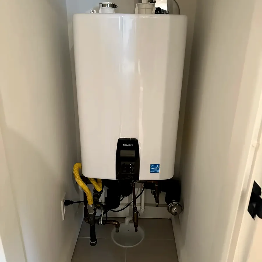
Plumbing
The systems that make the house work, and the bath and kitchen work that touches them.
- Water heaters and tankless
- Softeners and filtration
- Drains and sewer lines
- Leak detection and repipes
- Bath and kitchen work
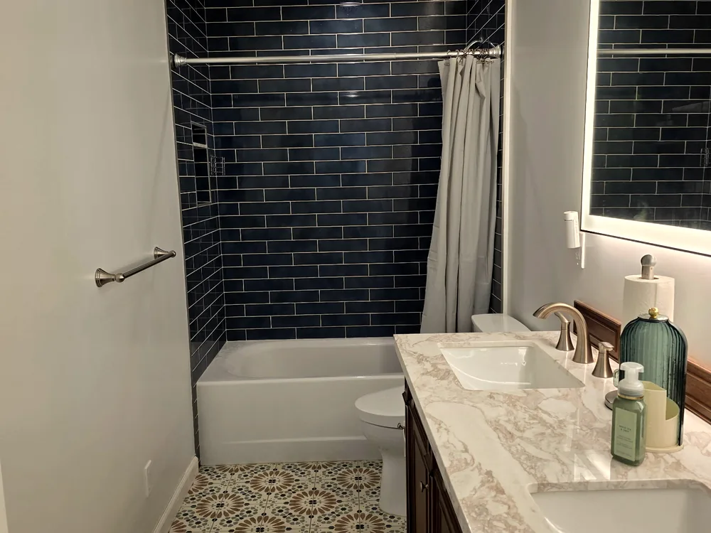
Accessible living
Built so you can stay in the house. Built so it doesn’t look built.
- Grab bars with wall blocking
- Curbless showers
- Walk-in tubs
- Doorway widening
- Home accessibility assessment
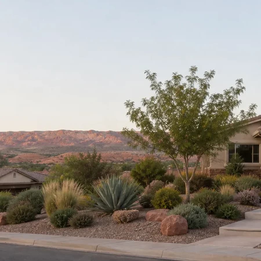
Water-wise landscape
Lawn out, desert in, with the rebate paperwork handled for you.
- Lawn removal
- Drip irrigation
- Desert planting
- Washington County rebate paperwork
Hurricane, in detail
93 things that are true here, each with its source.
Read the part you came for. Every line traces to a document we read in full, numbered in where this comes from.
The water
What comes out of the tap here, and what it does to a water heater.
- Hurricane City's water system (PWS UTAH27007) serves a population of 25,555.1
- Hexavalent chromium (chromium-6) is measured in Hurricane City water at 1.22 ppb; there is no federal limit for chromium-6.1
- Hurricane City water shows arsenic at 1.73 ppb against a federal limit of 10 ppb.1
- Hurricane City water shows combined radium at 1.51 pCi/L, total trihalomethanes at 2.60 ppb (federal limit 80 ppb), and nitrate at 0.590 ppm.1
- All Washington County water systems reviewed, including Hurricane, are in compliance with federal drinking water law; EWG's health guidelines are EWG's own values, far below federal limits.1
- Hurricane's drinking water comes through WCWCD's Sand Hollow Wells (which serve Hurricane City and the Hurricane Valley Water System), the Cottam Wells, and the Quail Creek Water Treatment Plant.1
7 more facts, with sources
- More than 80% of the drinking water WCWCD delivers is Virgin River surface water stored in Sand Hollow and Quail Creek reservoirs; the rest is groundwater from the Navajo aquifer.1
- No Washington County water quality report, including Hurricane's, publishes hardness, pH, chloride or iron, because they are not federally required reporting parameters.1
- Hurricane City operates a pressurized irrigation system fed from the Virgin River through the Quail Lake pipeline, passed through a settling pond and a filter station that filters to 200 microns; it is not potable.2
- Hurricane's pressurized irrigation water typically runs muddy for a few weeks in July or August; availability, connection and rates are handled by the Hurricane Utilities Office at 435-635-2811.2
- Rinnai and Rheem tankless water heaters both cap total hardness at 200 mg/L (about 11.7 grains per gallon) and total dissolved solids at 500 mg/L in their warranty and installation documents.3
- Noritz's tankless warranty excludes damage from hardness above 12 grains per gallon (200 mg/L), and Rinnai, Rheem and Navien all cap total hardness at 200 mg/L. A.O. Smith's current gas tankless warranty publishes no hardness figure at all.4
- A water softener does not remove arsenic or chromium; cation exchange does nothing to arsenic.3
The city's rules
Lawn, irrigation, lighting and permits, from the municipal code.
- Utah adopts construction code statewide under Title 15A, so the plumbing code in Hurricane is the same as in St. George; what varies by city is permit triggers, fees, process, irrigation rules and lighting.5
- Utah moved to the 2024 IBC, IECC and IEBC on July 1, 2026 under HB 65, while the electrical code remains the 2023 NEC and the residential code remains the 2021 IRC.6
- The WCWCD Water Efficiency Standards (October 2023) apply to any landscape installation using District or municipal-partner water, whether potable, secondary or reuse, and where they conflict with a city ordinance or HOA rule, the regulation giving the greatest water conservation applies.7
- Under the WCWCD Water Efficiency Standards, single-family lawn is capped at 8% of the lot or 2,500 sq ft, whichever is less; lots under 7,500 sq ft may have up to 600 sq ft; no lawn may be less than 8 feet in any dimension; and no lawn is allowed on slopes over 25%.7
- Under the WCWCD Water Efficiency Standards, every drip zone must have a pressure regulator, a filter, a flush-end assembly and emitters rated 20 gallons per hour or less; drip and spray may not share a valve; automated systems must use an EPA WaterSense smart controller; and all planting beds must be mulched.7
- Under the WCWCD Water Efficiency Standards, ornamental water features are limited to 25 sq ft per parcel, misting systems are permitted May through September when temperatures exceed 90°F, and homes over 1,400 sq ft need hot-water recirculation unless hot water arrives within 0.6 gallons.7
4 more facts, with sources
- Under the WCWCD Water Efficiency Standards, lawn is prohibited on commercial, institutional and industrial property except in an Active Recreation Area, and no lawn is allowed within 10 feet of vehicular areas.7
- Under H.B. 215 (2026), a Utah city may not require a property owner to install or keep lawn in an area less than 8 feet wide, and may not block vegetation removal required for defensible space under the Wildland Urban Interface Code.2
- A new 240-volt branch circuit or a panel change requires an electrical permit and inspection in every Utah jurisdiction, and the permit must be pulled by a licensed electrical contractor.6
- Under Utah H.B. 48, effective January 1, 2026, each municipality must adopt and enforce the Wildland Urban Interface Code, and counties annually assess a fee on high-risk WUI property that is based on structure square footage and may be tiered by triage classification.7
Who serves the house
Water and power providers, which changes what a rebate is worth.
- Hurricane's electric service is primarily Hurricane City Power, with Rocky Mountain Power only in the Harrisburg development and Dixie Escalante (Dixie Power) in other zones.6
- Rocky Mountain Power offers no residential Level 2 charger rebate in Utah; its Wattsmart Drive demand-response program pays bill credits of up to $100 the first year and up to $50 a year after, and applies only in RMP pockets such as Harrisburg.6
- Hurricane City's pressurized irrigation page does not list which subdivisions are served; that requires a call to Hurricane City Utilities at 435-635-2811.2
- Hurricane City maintains a Building Department page at cityofhurricane.com/161/Building-Department.6
- The WCWCD residential water impact fee on new construction is $13,500.5
- WCWCD offers a 2019 water conservation easement that waives part of its water impact fee on new construction in exchange for capping irrigated landscape at 5,000 sq ft; it is a different instrument from the rebate easement.7
The associations
What the documents say, by community. Confirm with your own.
- Sky Mountain has two distinct associations: Sky Mountain HOA (skymountainhoa.com, skymountainhoa@gmail.com, 435-288-2228), which is self-managed on PayHOA, and Sky Mountain Golf Estates HOA.2
- Sky Mountain Golf Estates HOA is at 985 N 2600 W, Hurricane UT 84737, (435) 635-7781, with office hours 10 a.m. to 2 p.m. Monday through Thursday, and also uses PayHOA.2
- Sky Ridge Town Homes Homeowners Association, Inc. is also present in Hurricane.2
- Sand Hollow Resort caps grass at 50% of the setback landscape area, prohibits artificial turf regardless of placement, requires rock to be reddish-brown earth tone of 2-inch minimum size, mandates drip with spray only on turf, and requires a landscape plan prepared by a Utah-licensed landscape architect.5
- Sand Hollow Resort's ACC meets weekly on Thursday afternoon with the packet due Monday at 5 p.m.; its deemed-approval backstop is 60 days plus a 14-day written demand (Design Code §3.10).5
- Sand Hollow Resort fines $500 for pulling a building permit before ACC approval, charges $1,000 for new-construction plan review and $250 for changes, requires a damage deposit of $1,500 to $5,000, and runs four mandatory inspections.5
10 more facts, with sources
- Sand Hollow Resort limits construction hours to 7 a.m. to 5:30 p.m. Monday through Friday and prohibits RVs on lots, including inside garages.5
- Copper Rock in Hurricane has no public governing documents; copperrock.com is a golf-course marketing site only.2
- Under Utah Code 57-8a-231(3)(b), an HOA may not require a lot owner to install or keep lawn in an area less than 8 feet wide except where reasonably necessary for erosion control, and it may not prohibit water-wise landscaping on a detached dwelling.2
- Utah Code 57-8a-231 protects only owners of detached dwellings in planned communities; attached townhome owners are not covered by 57-8a-231(2), and condominium owners get parallel protection through 57-8-8.1(8) and 57-8-10(9)(c)–(d) as of May 6, 2026.2
- As of May 6, 2026, a Utah HOA declaration may not impose a restriction on the interior of a dwelling except as reasonably necessary for the safety of adjacent lots (Utah Code 57-8a-212, 2026 Ch. 62), and the rule-level twin is 57-8a-218(22)(b)(i).2
- A Utah HOA may not restrict a homeowner from hiring a contractor solely because the contractor is not on the association's preferred vendor list (Utah Code 57-8a-218(22)(c)(iii) for rules; 57-8a-212(4)(i)(ii) for declarations).2
- Under Utah Code 57-8a-109(4), an HOA denial must state in writing each governing-document provision relied on and the specific aspect of the plan that does not conform, and under 57-8a-109(2) a plan fee may not exceed the actual cost of review.2
- There is no statutory deemed-approval rule or review deadline in Utah; deemed approval exists only where an individual declaration or design guideline provides it, as Sand Hollow Resort's does.2
- Under Utah Code 57-8a-802, an HOA may not prohibit a lot owner from installing an EV charging system in a parking space on the owner's lot or in a limited common area space designated for the owner's exclusive use, though it may require an application and a licensed electrical contractor.6
- Under the Fair Housing Act an HOA cannot deny a reasonable modification such as grab bars, ramps, walk-in showers or widened doorways where there is a disability nexus, and may not require a specific contractor, extra insurance, higher deposits or medical records; the resident pays.5
The ground
Soils, faults, flood and rockfall, from the state's hazard mapping.
- The Hurricane fault zone is 87 km end to end (102 km cumulative trace) in six sections, including the 42-km Anderson Junction section spanning Utah and Arizona, with normal, down-to-the-west faulting and a minor right-lateral component near Hurricane.1
- The Anderson Junction section of the Hurricane fault slips at 0.2–1 mm per year and last ruptured the surface roughly 5,000–10,000 years ago; the recurrence interval for every section is listed as "No data."1
- Displacement across the Hurricane fault increases to the north, and late Quaternary alluvial deposits show up to tens of feet of displacement.1
- UGS Special Study 127 states the Hurricane fault is capable of earthquakes as large as magnitude 6.5–7.1
- The 1992 St. George earthquake (magnitude 5.8, September 2, 1992) caused liquefaction and property damage and triggered the Springdale landslide.1
- Utah Geological Survey Special Study 127 maps geologic hazards and adverse construction conditions across 366 square miles including Hurricane, with 14 hazard maps at 1:24,000 scale.1
13 more facts, with sources
- SS-127 maps six geologic hazards (surface fault rupture, earthquake ground shaking, liquefaction, flooding, landslide, rock fall) and nine adverse construction conditions (expansive soil and rock, collapsible soil, gypsiferous soil and rock, shallow bedrock, caliche, wind-blown sand, breccia pipes and paleokarst, soil piping and erosion, shallow ground water).1
- The Utah Geological Survey calls flooding "the most widespread and damaging geologic hazard in southwestern Utah" and expansive soil and rock "the most troublesome construction condition."1
- The Washington County Hazards MapServer publishes 24 free public GIS layers, including a Fault Special Study Zone layer (11), surface fault rupture hazard (10), liquefaction (16), rockfall (17), collapsible soils (18), expansive rock and soil (19), gypsiferous rock and soil (20), wind-blown sand (21), piping and erosion (22) and wildfire history (23).1
- The county GIS maps dam-break inundation areas (layers 5–7), relevant because Quail Creek and Sand Hollow reservoirs sit upstream of populated areas.1
- Washington County publishes three separate flood-related GIS layers — FEMA flood hazard, erosion hazard boundary, and flood hazard based on geologic deposits — because the FEMA map alone is not sufficient here.1
- UGS defines collapsible soil as soil that has considerable strength when dry but settles significantly through hydrocompaction when wetted; in a home the wetting agent is typically a leaking irrigation line, service line, downspout or sewer lateral.1
- UGS describes caliche as calcareous material in the shallow subsurface of arid soils that "can be very difficult to excavate," and maps it as an adverse construction condition in SS-127.1
- In gypsiferous zones mapped by UGS SS-127, a soil sulfate test determines the required concrete mix under ACI 318 exposure classes S1–S3, and sulfate-resistant cement is required at class S2 and above.1
- SS-127 notes that rockfall has widespread favorable conditions in the study area and that damage is expected to increase with hillside development; rockfall has caused at least 15 documented deaths in Utah since 1850, including a 2013 fatality in Rockville, Washington County.1
- The EPA maps Washington County as Radon Zone 2, the middle of its three categories, meaning a predicted average indoor screening level between 2 and 4 picocuries per liter. The action level is 4, and a zone map is a geological prediction that does not describe any individual house.8
- UGS calls radon "Utah's leading geologic hazard in terms of fatalities"; the state hazard plan attributes 5,630 Utah deaths (1973–2015) to radon-induced lung cancer, 92.7% of all Utah geologic-hazard fatalities.1
- Utah State University Extension states that termites are found throughout Utah but are most common in the southern counties, and its prevention list includes repairing water leaks and sealing foundation cracks.1
- Utah's Wildfire Risk Assessment Portal at wildfirerisk.utah.gov is the homeowner lookup tool for wildland-urban interface risk, and the Division's mapping-tool boundary is the only one insurers may use to classify a property as high-risk WUI.1
The seasons
Heat, monsoon, wind and freeze, and how they set the calendar.
- WCWCD says the populated areas of Washington County are in hardiness zone 8, that a warm winter can approach zone 9 and rare years drop to zone 7, and that low-lying neighborhoods near rivers and drainages are colder because cold air settles there.7
- Most of Washington County falls in Sunset climate zone 10, with hot summers, cold winters, up to 300 growing days a year and elevations of 3,300 to 5,000 feet.7
- Southwest Utah has a defined monsoon season that generates flash flooding; St. George recorded a 78-day dry spell that ended with monsoon onset in one recent year.1
- St. George, the nearest long-term weather station, recorded an all-time high of 117°F, set in July 1985 and matched on July 11, 2021, and 98 days at or above 100°F in 2024.1
- Because winter lows sit right at freezing rather than well below it, the local freeze failure is exposed above-grade plumbing — hose bibs, backflow assemblies, pool equipment and attic runs — not pipes inside walls.3
- UGS maps wind-blown sand as one of the nine adverse construction conditions in SS-127, and Washington County publishes it as GIS layer 21.1
3 more facts, with sources
- Penn State's sports surface research center measured synthetic turf at 200°F on a 98°F day in Provo, Utah; 30 minutes of watering dropped turf from 174°F to 85°F but it rebounded to 120°F within 5 minutes.1
- WCWCD states that shade keeps areas up to 25 degrees cooler, that shade trees can lower surface temperatures by up to 50 degrees, and that grass uses four times more water than trees and shrubs.7
- WCWCD's published watering guide allows drip up to 1 day a week November–February, 2 days March–April, 3 days May–August and 2 days September–October, and says irrigation is typically not needed in December or January.7
The houses
How homes here were built, and what that means for the pipes.
- Washington County had 91,460 housing units and 69,786 households as of July 2025, with 71.6% owner-occupied, a median home value of $510,700, and 2,857 building permits issued in 2025.1
- Polybutylene supply pipe was installed in U.S. homes from roughly 1978 through the mid-1990s, is usually grey and stamped PB2110, and fails from the inside when disinfectants react with the plastic.1
- The EPA Renovation, Repair and Painting rule applies to homes built before 1978 and, unlike Utah's asbestos rule, has no small-residential exemption, so it governs bathroom remodel work in older homes.1
- Utah Admin. Code R307-801-9 exempts owners of residential structures of four units or fewer from asbestos inspection requirements and contains no 1992 date trigger.1
Rebates and easements
The conversion program as it applies here.
- Hurricane residents do not apply to the state landscape incentive; the Utah Water Savers eligibility page links Hurricane directly to the WCWCD Water Efficient Landscape Program, and there is one application, one inspection, one easement and one payment.7
- The WCWCD landscape rebate pays $3 per square foot on the first 1,000 square feet and $2 per square foot after that for projects completed before June 1, 2027; the standard rate is $2.7
- The Washington County Water Conservancy District caps the landscape rebate at $100,000 per property per calendar year. There is no five-year waiting rule on the district side; that limit belongs to the separate state program, which Washington County applicants are routed away from.9
- Removing or killing the lawn before the approval email and pre-conversion site visit permanently voids rebate eligibility; the grass must be alive at inspection, though irrigation may be shut off for up to a month beforehand if blades remain visible.7
- WCWCD requires 50% living plant cover at maturity in the converted area, counting each tree as 350 sq ft and each shrub or perennial as 35 sq ft, and existing trees inside the conversion area count.7
- The program does not dictate plant species and there is no approved plant list for the rebate; it requires only 50% mature coverage.7
10 more facts, with sources
- Ungrouted pavers and dry-set flagstone count as mulch inside the rebated area, poured concrete and mortared work are subtracted, and permeable artificial turf is accepted in lieu of mulch under the WCWCD program.7
- Every rebated conversion attaches a perpetual conservation easement recorded with the Washington County Recorder that restricts only the converted area and prohibits irrigated grass, spray irrigation, pools, ponds and water features there forever.7
- WCWCD enforces the easement by aerial imagery; on a violation the owner gets written notice and 45 days to cure, then owes the full rebate plus administrative costs plus 5% annual interest, and release of the easement is discretionary and carries the same repayment.7
- The easement's completion spec requires no irrigation or low-volume drip with a filter, pressure regulator and emitters rated 20 gallons per hour or less, mulch permeable to air and water, and a conversion free of grass, bare soil and impermeable barriers.7
- WCWCD issues rebates in less than 60 days after project completion and paperwork submission.7
- For an owner-occupied primary residence WCWCD does not collect a W-9 or issue a 1099 for the rebate; owners of second homes, rentals and commercial property are issued a 1099.7
- WCWCD says a typical residential conversion can save up to $300 a year in water costs.7
- WCWCD offers a smart controller rebate of up to $100 for an EPA WaterSense-labeled controller and a toilet replacement rebate of up to $150 per toilet (up to two per property) for WaterSense models replacing toilets made before 1994; these are separate applications from the landscape rebate.7
- If a homeowners' association compels a resident to keep grass, WCWCD invites the resident to email conservation@wcwcd.org and will take reasonable steps to communicate with the HOA about applicable state and local laws.7
- The federal Alternative Fuel Vehicle Refueling Property Credit (§30C) for home EV chargers expired for property placed in service after June 30, 2026.6
Something on this page describe your house?
Tell us what you’re seeing. We’ll say on the phone whether it can wait, and what it costs to find out.
Associations in Hurricane
What each community’s own documents say about design review, landscape and working on your house, with the section numbers. All communities.
Sand Hollow Resort
What Sand Hollow Resort's own documents say about ACC review, landscape material, construction hours and who may build.
Read before you decide
Artificial turf, measured: 200 degrees on a 98 degree day
The highest published synthetic turf surface temperature was recorded in Utah. Watering cools it for about five minutes. Here is where turf still makes sense, and what planted conversion does instead.
Your backflow test notice, explained
St. George requires an approved assembly on every outside watering system, protected from freezing, and tested every year. Here is what that device does.
A pipe broke in the wall of your condo. Who pays?
Utah Code § 57-8-7.2 draws the line at the finished surface. Everything behind it is common area, and a pipe gets sorted by how many units it serves.
Curbless walk-in showers: the complete guide
A standard 60-inch tub occupies the same footprint as a 60 by 30 roll-in shower. The numbers, the slab, the hard water, and what the research honestly says.
Where this comes from
Every line above traces to a document we read in full. The number after a sentence points to the research below; hover it for the section. If you find a line wrong, tell us and we will fix it and say so.
- Environment, water and ground research, August 2026 Compiled from the cities' own water quality reports, Utah Geological Survey Special Study 127, the Utah State Hazard Mitigation Plan, Washington County GIS hazard layers, NOAA climate records, EPA radon zones and Census QuickFacts. 33 sections cited. Hover a number above for the section.
- HOA research, August 2026 Compiled from Utah Code Title 57 Chapters 8 and 8a, Title 13 Chapter 79, HOA Ombudsman advisory opinions, and the recorded CC&Rs and design guidelines of the named communities. 13 sections cited. Hover a number above for the section.
- Plumbing research, August 2026 Compiled from manufacturer warranty documents and installation manuals (A.O. Smith, Noritz, Rinnai, Rheem, Navien, Bradford White), the Battelle / Water Quality Research Foundation study, the Utah Code and DOPL rules. 3 sections cited. Hover a number above for the section.
- Manufacturer warranty documents, each from the maker's own site, re-verified 2 Sept 2026
- The Washington County playbook, August 2026 Our own working document, compiled from the same primary sources: municipal codes, the Utah Code, WCWCD documents and community CC&Rs. 7 sections cited. Hover a number above for the section.
- Utility and EV research, August 2026 Compiled from utility service maps, St. George City Energy Services, Dixie Power and Hurricane City Power published rates and rebates, the Utah Code and the AFDC. 6 sections cited. Hover a number above for the section.
- Landscape and hardscape research, August 2026 Compiled from Washington County Water Conservancy District program documents, its sample conservation easement and FAQ, Utah Water Savers, the 2023 USDA hardiness map, USU Extension, and St. George City Code, Title 10. 23 sections cited. Hover a number above for the section.
- EPA Map of Radon Zones, Utah, read from the map itself 2 Sept 2026
- WCWCD Water Efficient Landscape Program agreement, wcwcd.gov, retrieved 2 Sept 2026
The quote is the number. There is no second number.
7 a.m. to 5 p.m., weekdays. Emergency calls answered any hour, every day.